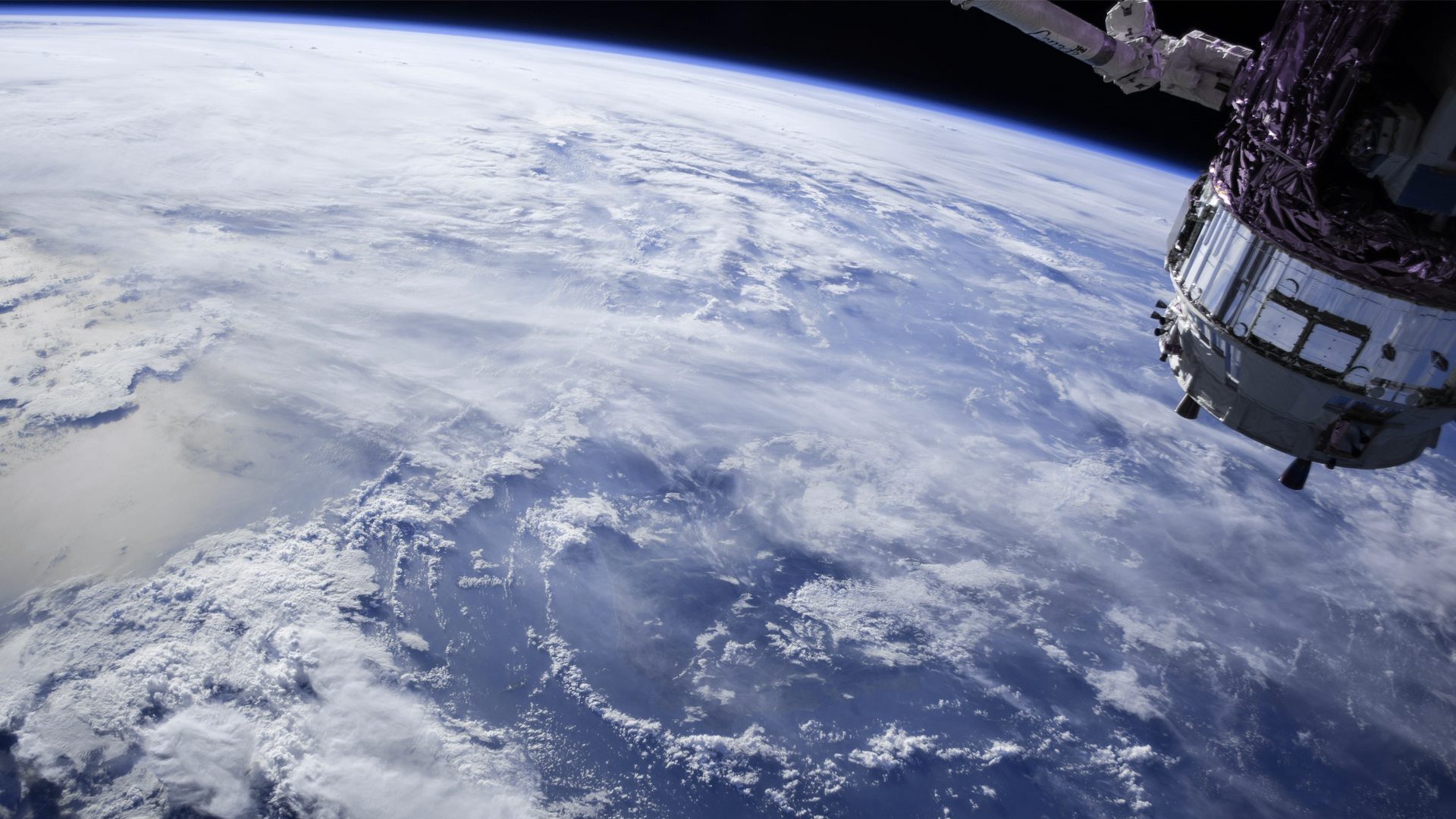
NASA’s new ocean satellite is set to completely revolutionise the way we collect data on sea levels and the impact of climate change.
It sounds crazy to say now, but when NASA first began its research on rising sea levels in the 1990s, scientists were unsure whether or not climate change was even a contributing factor. Thankfully, doubts on that front have been well and truly ousted since then.
‘The question of whether the oceans go up or not [as the planet heats up] has been settled by satellites, it’s not a question,’ said NASA’s science administrator Thomas Zurbuchen. ‘Just as sure as gravity right here where I’m sitting, these oceans are going up and we need to handle what that does to our lives.’
With that goal in mind, three long decades of research have just culminated in the launch of the Sentinel-6 Michael Freilich spacecraft, one of the most sophisticated satellites ever built and the first solely intended for the detailed monitoring of sea levels and atmospheric temperature changes.
As the first half of a pair of shiny new ocean satellites – with the ‘Sentinel 6-B’ set to join in five years’ time – the Sentinel-6 is intended to kick-start a meticulous data collection service to sustain both NASA’s and the European Space Agency’s climate research for the next 10 years.
Traditionally, sea levels have been recorded using floating sensors along coastlines called tide gauges, but this method can only record data from single points.


