Menu Menu

First ever AI satellite quickens disaster response times

A satellite the size of a cereal box is using AI to remove clouds from orbit imagery and pinpointing disasters faster than ever before.

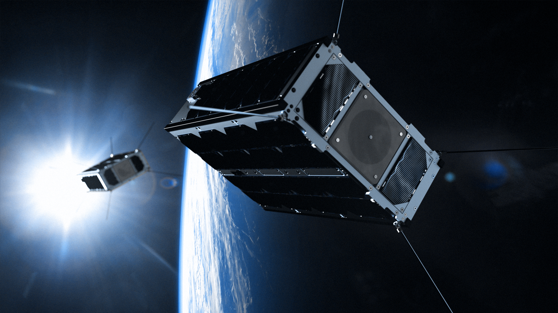
On September 2nd, a satellite that looks a little like a desktop PC was shot into orbit, it’s original task being to monitor the state of polar ice and soil moisture as climate change continues to impact our planet’s delicate ecosystems.

However, a month into deployment the PhiSat-1’s onboard AI systems are proving extremely versatile and researchers are discovering new uses for it every week. With its initial launch hindered by a faulty rocket, two hurricanes at ground stations in South Korea and French Guiana, and – of course – the global pandemic, the European Space Agency and Irish robotics firm Ubotica have spent over a year drafting some ambitious ideas, and they’re real keen to make up for lost time.

The pair are particularly excited by the satellite’s ability to snap and relay high resolution images of Earth from orbit. Granted, that in itself isn’t anything revolutionary, but the integrated AI is eliminating a long-spanning obstacle from the process – cloud coverage.

Covering around 67% of the planet’s atmosphere, clouds are a pretty significant visibility issue and have been a thorn in the side of astronomers for decades, but the PhiSat-1’s talent of spotting and scrapping useless samples could save a ton of processing power and time.

Through machine learning techniques employed during the ESA’s waiting period, PhiSat-1 now understands what clouds look like and is able to determine whether or not an image is too obscured to be worthwhile. Specifically, if a photo is more than 70% hidden, the AI automatically deletes it from storage.

To those of us outside the field of space study, this technical leap obviously sounds impressive, but ESA researcher Gianluca Furano has oddly equated the process to ‘picking low hanging fruit,’ and little more than a practical improvement. Instead, he’s more preoccupied with the PhiSat-1’s potential to transform the way we respond to widespread disasters like oil spills and wildfires.

On that front, Ubotica’s Aubrey Dunne claims the technology is already making a difference. Again, by way of feeding the satellite a bunch of stimuli throughout 2020 – such as videos and images of disasters – it began to recognise and detect the signs of wildfires and flares sent up by oil refineries. The blazes continuing to ravage America’s West Coast saw people arm themselves with localised tracking apps backed by satellite coverage months ago, but PhiSat-1’s AI seeks to make both detection and response protocols a whole lot quicker by eliminating the need for on-hand supervision.

‘You want to try to alert authorities and relevant people on the ground in the relevant places about the location and extent of the fire, and how it’s changing, moving, and shifting without having to wait a day for the data to download and wait another day for it to be processed on the ground,’ Furano claims.

The PhiSat-1 continues to be put through its paces as we speak, but with its AI’s processing power being 15 to 20 years behind the standard of today’s smartphones, we’re sure to see newer iterations with improved chips joining it in the near future.

Expect news of a ‘PhiSat-2’ any day now.

Accessibility