Menu Menu

Google launches ‘FloodHub’ to track potential flooding disasters

In the days leading up to COP27, Google launched a new GPS service called FloodHub. As the risk of extreme weather increases, this platform aims to assist in tracking where and when floods may occur.

COP27 is finally underway in Sharm El Sheikh, and delegates from across the planet have united to come up with bold climate policies… or so we hope.

The initial days are mostly about paying lip service and outlining general pledges to tackle climate change, but the thematic conferences will allow us to dig into the nitty gritty details as of tomorrow.

One topic that will rightly receive a lot of emphasis is adapting developing countries to deal with the impacts of our warming climate.

Earlier today, Barbados prime minister Mia Mottley warned that we could have over a billion climate refugees by 2050 without serious governmental action over the next two weeks.

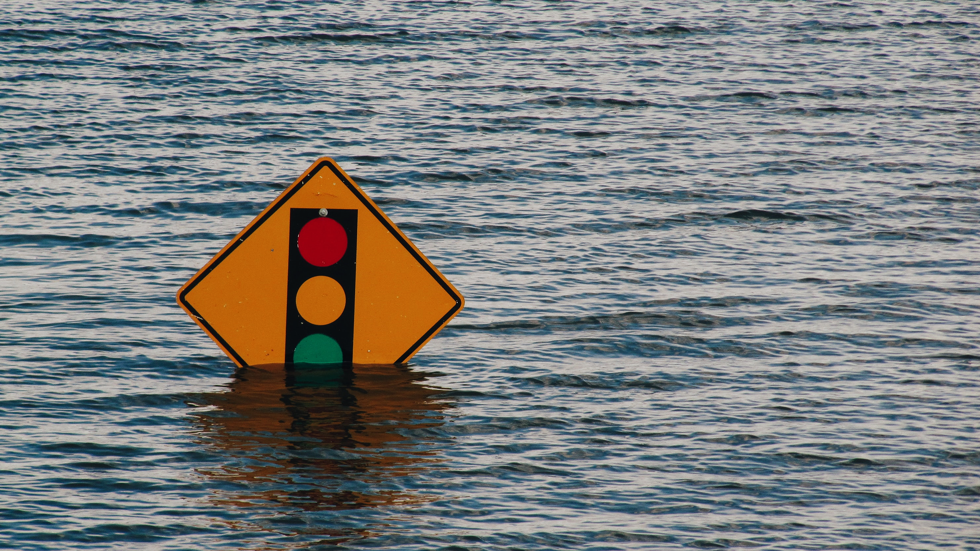
Many millions of those who will be displaced in the coming years will no doubt be forced to flee by devastating floods like those we witnessed in India last summer.

In order to try and prevent unnecessary death and destruction where possible, Google has launched a new GPS service called FloodHub. This aims to forecast where flooding is likely to occur, giving residents the chance to escape and authorities the heads up to prepare effectively.

This builds on similar work the company has done to provide live information about wildfires, which has been rolled into Google Maps.

Half the world lacks adequate warning systems for natural disasters, a United Nations report found last month, and Google hopes it can fill in some of the gaps.

Its FloodHub interactive map uses artificial intelligence to determine where flooding is most likely using data from drainage basins. These sophisticated systems can accurately estimate how deep waters will get even in areas where there is a distinct lack of ecological data.

The info-graphics are very self-explanatory and user friendly, offering pop-up information on each location including a range of dates – past, present, and predicted future.

Blue shading within an accompanying graph will show whether water is likely to exceed dangerous levels, and automatic warning messages are autonomously sent.

‘Today, we’re sharing that we’re now expanding our coverage to more countries in South America (Brazil and Colombia), Sub-Saharan Africa (Burkina Faso, Cameroon, Chad, Democratic Republic of Congo, Ivory Coast, Ghana, Guinea, Malawi, Nigeria, Sierra Leone, Angola, South Sudan, Namibia, Liberia, and South Africa), and South Asia (Sri Lanka),’ said Google.

Initially introducing the concept of pairing AI and satellite imaging to predict floods in the Patna region of India back in 2018, Google expanded nationwide and into Bangladesh in 2020. By 2021, Google had sent flood notifications to as many as 23 million different people.

Applications such as this are only going to become more valuable as the planet warms. If married with adequate funding to protect disproportionately affected areas (that remains a big if) we can finally begin to give people the level of protection they deserve.

I guess we’ll find out if that’s a realistic prospect over the next couple of weeks.

Accessibility