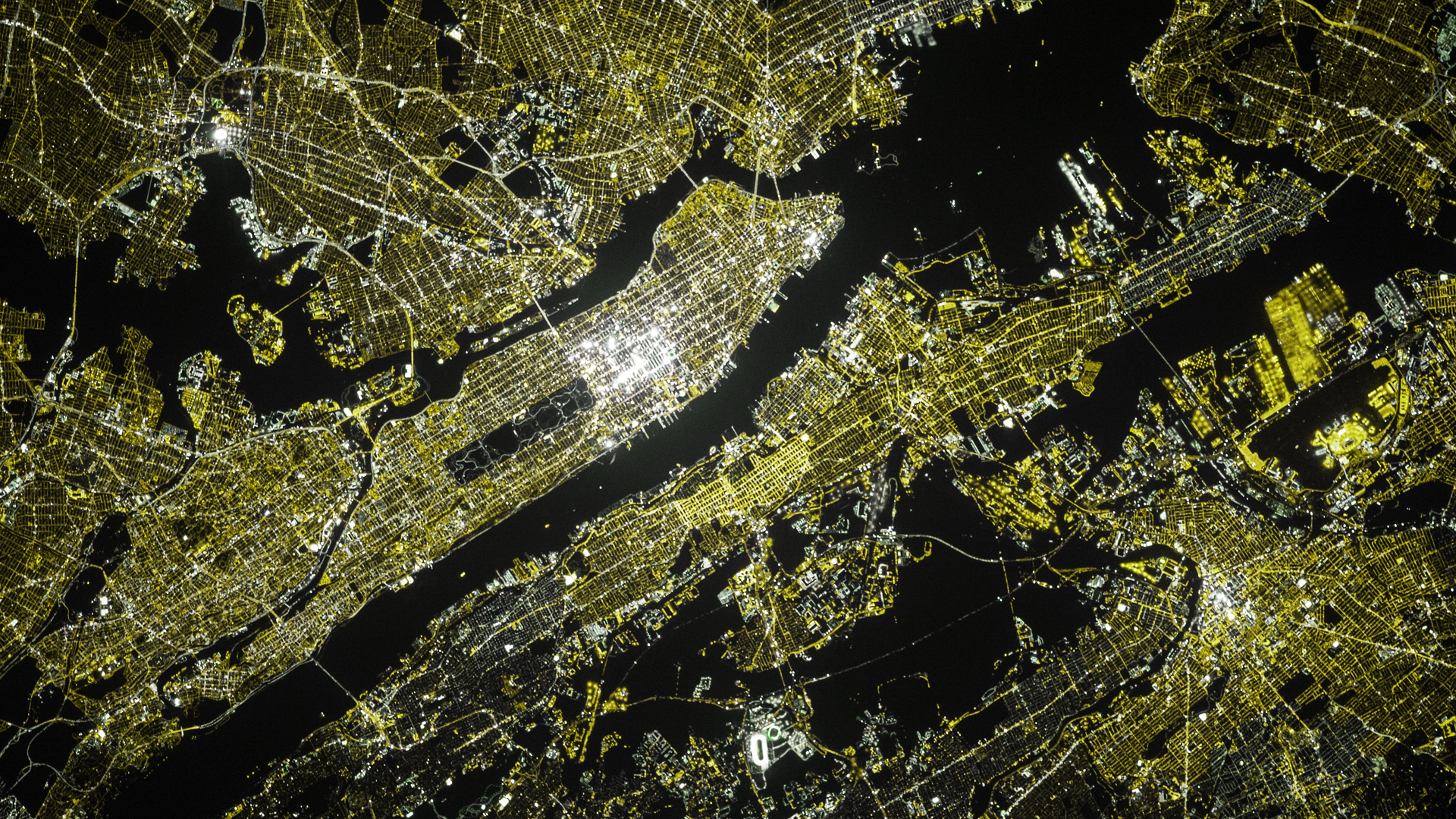
Geographers are becoming increasingly concerned about the spread of AI-generated satellite imagery and its potential to create hoax content or skew visual reports. Some even suggest it’s a threat to national security.
When discussing deepfakes, most of us think of Nicholas Cage memes, unresolved issues of non-consensual pornography, or doctored political propaganda.
What doesn’t immediately jump out is the potential for AI-generated imagery to manipulate satellite photos of cityscapes and countryside.
This process, being described by deepfake experts as ‘location spoofing,’ is exactly what geographers and intelligence agencies are concerned will become commonplace in the near future.
Much like the deep learning tech able to accurately reconstruct people’s faces from taking existing media on the internet, location spoofing uses the countless satellite images available on platforms like Google Earth as stimulus to either create mock-up cityscapes entirely or slightly alter them.
Given the often low quality renderings that exist on these client map services (and satellite images in general) detecting any type of forgery is particularly difficult for those with untrained eyes. For obvious reasons, this throws up a bunch of red flags.
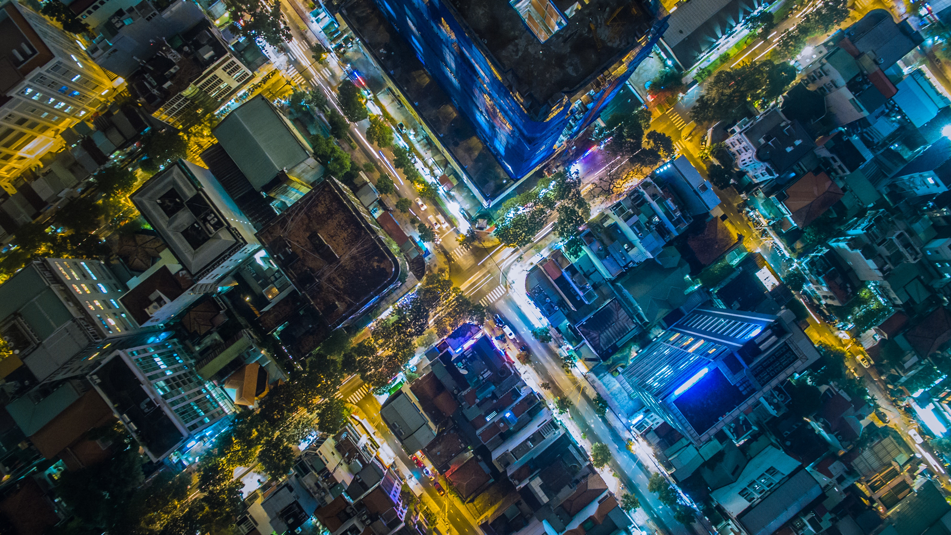 Imagine, for instance, that hoax images of natural disasters like floods or wildfires were to start circulating. The speed at which stories spread on social media could spark panic from citizens and potentially divert the attention of emergency services.
Satellite imagery has long been used to uncover evidence of human rights injustices too – a prime example being the harrowing reports of China’s Uyghur detention camps.
If satellite deepfakes were commonplace at the time, the Chinese government may have proclaimed the images as fake or perhaps created their own forgeries to deceive investigators.
The sophistication of this technology is not to be underestimated, and is fully on display in a recent gaming mod video gaining traction online. Originally posted to YouTube by Intel ISL, in-game footage shows a photorealistic modification of Rockstar’s Grand Theft Auto V which renders the fictional city of Los Santos in hyper-realistic textures.
Using the same variety of deep learning technology we’ve previously discussed, the mod (which isn’t available to play, unfortunately) uses rendering buffers to gain geometric information such as ‘surface normals,’ lighting, and reflectivity to produce what looks like a real life car driving through an urban area.


