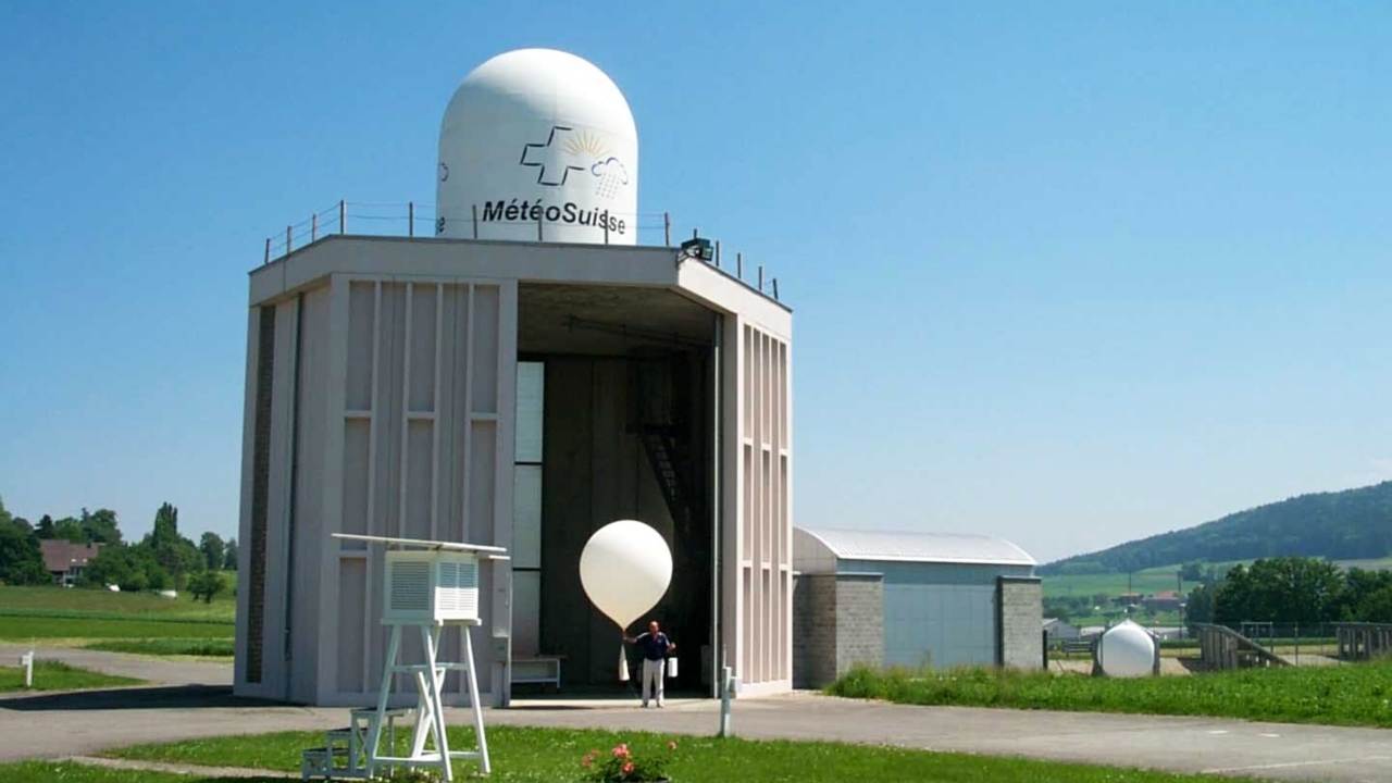
Climate scientists typically use weather balloons to monitor the threshold for warming air. In Switzerland, the latest balloon climbed a record 5,300 metres before temperatures fell to zero degrees.
We just keep on breaking records for the wrong reasons.
Amid a backdrop of late summer heatwaves and raging wildfires across Europe, meteorologists set out to measure the zero degree line of our climate for 2023.
If you’re unfamiliar, this term refers to the altitude at which our atmospheric temperature falls below freezing and has become a key marker for climate models globally. The lower the heat threshold, the better our outlook on global warming.
The line ‘affects vegetation, the snow line, and the water cycle… so has a considerable impact on the habitats of humans, animals, and plants alike’, explains MeteoSwiss, the federal office for climatology.
Released and recorded overnight from atop the mountains of western Switzerland, the latest balloon reached a maximum height of 5,298 metres before temperatures reached zero.
Le radionsondage de Payerne de cette nuit du 20 au 21 août 2023 a mesuré l'isotherme du 0 °C à 5298 m ce qui constitue un record depuis le début des mesures en 1954. Le précédent #record datait seulement du 25 juillet de l'année dernière avec 5184 m. #meteosuisse #canicule pic.twitter.com/dWjnKIRQ7r
— MétéoSuisse (@meteosuisse) August 21, 2023
This represents an alarming record-high since the first measurement in 1954 – and the first time zero degree records have been surpassed in consecutive years (2022: 5,184 metres).
Having averaged an altitude of 2,570 metres above sea level from 1991 to 2020, peaking at 4,000 metres in the summer, this latest indicator confirms what we already knew: anthropogenic climate change is far from peaking or tailing off.
Specifically, experts point to an exceptional area of high pressure across continental Europe centred over the Alps. Here, what can be effectively described as a heat dome has formed and it’s forecasted to push temperatures even higher until at least Wednesday (23/08).
50 of France’s 96 emergency services were on amber heat alerts at the time of recording with some expected to be placed on maximum red over the coming days. ‘Records could be broken, notably on Tuesday in the Rhône valley, Meteo France reported.
Switzerland is also facing extreme heatwaves which are set to continue into the coming week and violent thunderstorms in lowland regions. At Lake Geneva, the danger level is forecasted at 4/5 and its summer is likely to be the second hottest ever on record.
Given this bleak lay of the land – or more appropriately sky – it appears our target of remaining under 1.5C warming by the mid-century is looking all but perilous.
Who’s excited for COP28 in Saudi Arabia?


