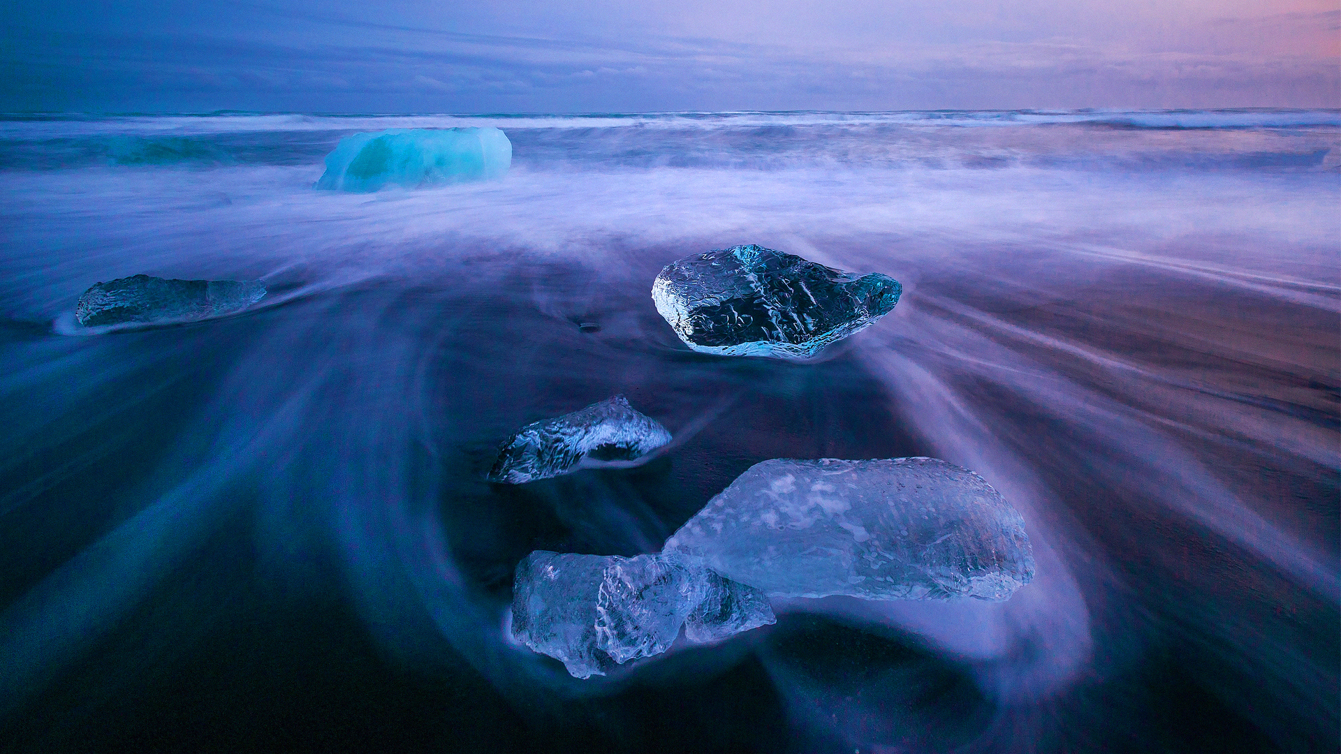
Preliminary data from satellites reveals Antarctica’s levels of sea ice have dropped to their lowest level in 40 years, when the first ever measurements were taken.
What would hump day be at this point without a depressing dose of climate change news?
This week, scientists have discovered that there is now the smallest ice coverage in the Antarctic Ocean since data started being measured in 1979.
Using satellite imagery, the US National Snow and Ice Data Center examined the remote region and certified that it has now broken record lows of ice coverage set only five years ago, by falling below 2m kilometres.
Worryingly, it is believed to be melting at a rate three times faster than that of the 90s, which is contributing to overall rising sea levels in a big way.
https://twitter.com/chriscartw83/status/1496517708220751872?s=20&t=HtF5pzFjaVnf1CoC2e9DbA
Antarctic sea ice is challenging to study because of the changes that occur every year. In this short time, around 15m kilometres – an area double the size of Australia, for context – will grow and melt. This may seem like a lot, but it’s deemed completely normal.
This Ice coverage generally peaks around the beginning of October at 18m kilometres and troughs in March at 2.8m kilometres, give or take.
When it came to examining satellite images from last August, however, researchers got a hint that something unusual was afoot, as ice started to retreat a month earlier than usual.


