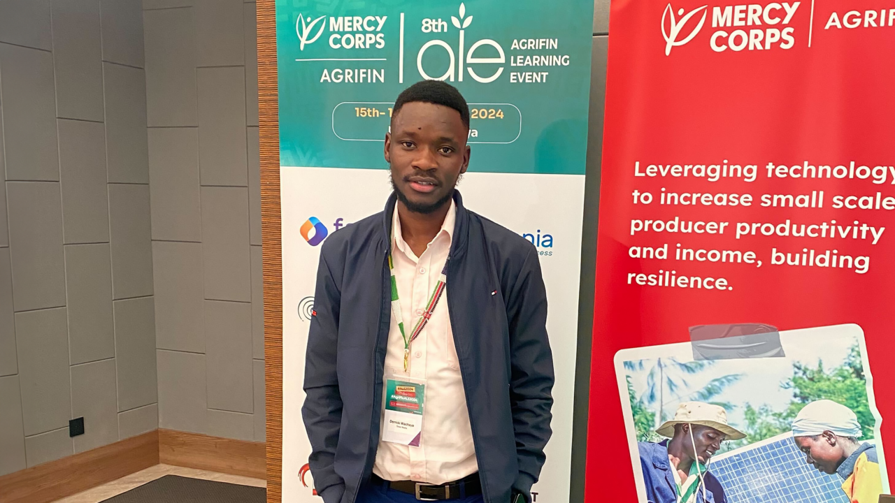
I had the privilege of attending the 8th AgriFin Annual Learning Event, organized by Mercy Corps AgriFin in Nairobi. The gathering brought together a diverse group of professionals all deeply committed to shaping the future of agriculture in Kenya and across Africa.
The MO of Mercy Corps’ AgriFin Learning Event is to use technology to enhance the resilience of smallholder farmers, particularly in Kenya’s dryland areas which are among the most vulnerable to climate change.
The two day conference was packed with insightful sessions, but two in particular stood out to me: the masterclasses on Climate Information Services (CIS) for pastoralists – aka farmers – and financing the livestock sector. Both sessions shed light on critical issues facing the agricultural ecosystem that hit close to home.
Climate Information Services (CIS) for pastoralists
As someone who has seen firsthand how climate change is reshaping the landscape of Kenya’s drylands during my visit to Wajir County, I was particularly drawn to the session on Climate Information Services.
Hosted by Supporting Pastoralism and Agriculture in Recurrent and Protracted Crises (SPARC), the session delved into the ways climate data can be made more accessible to pastoralists. These services are designed to help anticipate and mitigate the effects of climate change at a local level – whether that’s preparing for droughts or managing shifts in grazing lands.
Despite the rise in CIS offerings, the talk highlighted several persistent challenges. One of the most striking statistics shared was that, despite these services growing in number, the uptake by pastoralists remains low.
Speaking to SPARC team lead Carmen Jaquez, she emphasized how crucial it is to make CIS not only accessible but also relevant to the daily lives of pastoralists focusing on women and youths from dryland areas.
‘Our research shows that the frequency of drought in these places are changing the roles of women. As men are losing their herds, women are making income and there is pressure for women to provide support. And it is more difficult for young people whose education is affected,’ Carmen stated.
This gap presents an opportunity for further innovation and education to enhance capacity building. Whether through government partnerships and/or community-led initiatives, the potential impact of CIS on enhancing climate resilience is enormous.
On the connection between Geographic Information System (GIS) and Climate Information Services (CIS) , I spoke to Florine Kaino, Geospatial Advisor at the ASAL Adapts with Mercy Corps.
‘The relationship between GIS and CIS lies in how GIS is used as a tool to visualize, present, and disseminate climate information. For instance, GIS supports spatial modeling and prediction, helping to analyze long-term climate data and identify deviations from expected norms, such as droughts or other unusual conditions,’ Florine explained.


