Menu Menu

Scientists examine Antarctica’s thawing ‘Doomsday Glacier’

Scientists have gotten a first look at what’s thawing away Antarctica’s giant Thwaites ice shelf – dubbed the ‘Doomsday Glacier’ due to its huge sea rise potential. There’s positives and negatives to be taken. 

Sea levels are said to have risen between 21 and 24 centimetres since 1880, and high-tide flooding is twice as common as it was a decade ago. 

Primarily attributed to melting ice sheets and glaciers, there are two vital arteries in the heart of west Antarctica that scientists are determined to protect. The first, and vastly more covered by mainstream media, is Greenland – which is reportedly losing 250bn metric tons of ice per year. 

Despite the lack of environmental data on the second, the Thwaites ice shelf closely follows as another vast, vulnerable region in dire need of protection.  

Dubbed the ‘Doomsday Glacier’ to highlight how devastating its loss would be to global sea levels – supposedly upwards of two feet (65 centimetres) – the sheet roughly matches the size of Florida (170km squared).

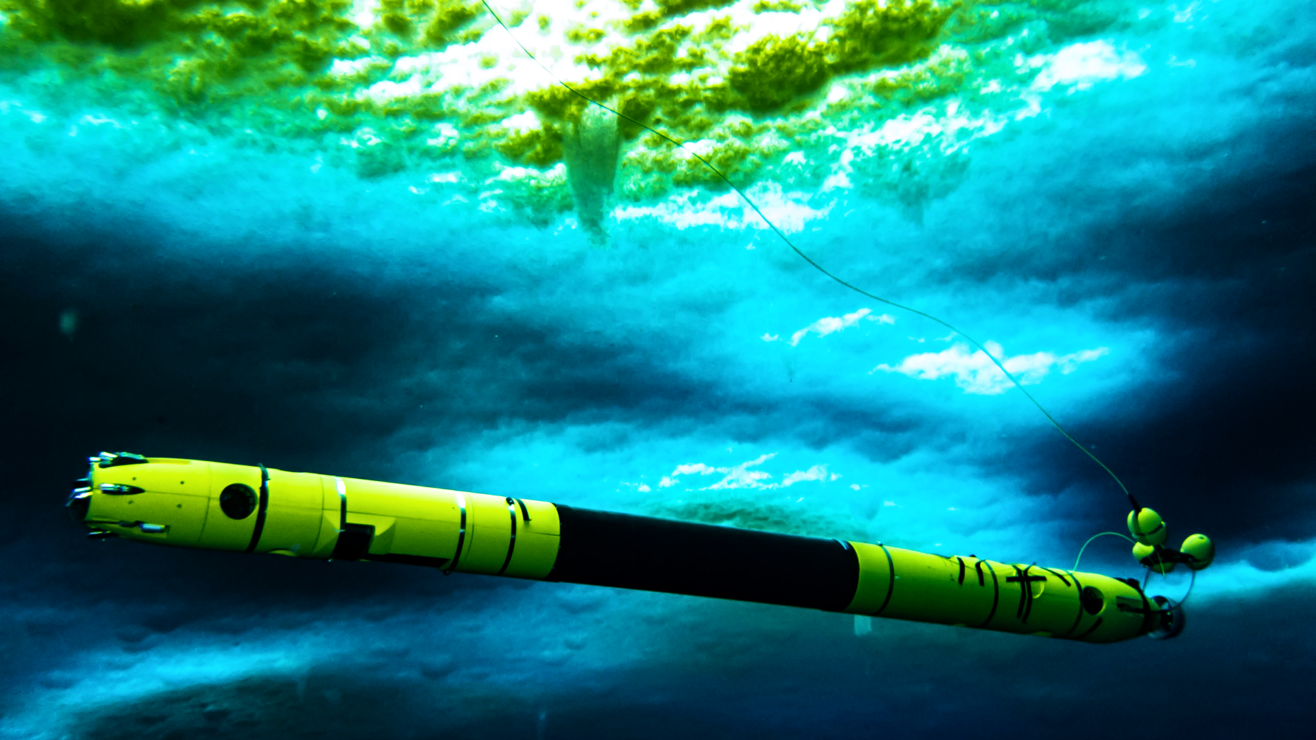
Regular samples of satellite data over the years have showed a critical rapture in Thwaite’s surface, in which material is said to be constantly ‘streaming out.’ Despite our pressing need for more information on the subject, there had been no definitive answer as to why. 

This is because conditions on the glacier’s shimmery surface are increasingly too volatile to land a plane or helicopter, and drilling a hole into the main trunk for observation is entirely out of the question. 

It’s ‘so messed up by crevasses, it looks like a set of sugar cubes,’ explains National Science Foundation’s Paul Cutler. ‘Its eventual mode of failure may be through falling apart,’ he says. 

Backed by a huge $50m multi-year initiative, however, researchers have finally made a partial breakthrough in examining the world’s widest glacier up close using a sophisticated autonomous vehicle aptly named Icefin. 

Built with integrated sonar, chemical, and biological sensors, the pencil-shaped device was lowered into a crevice at a secure eastern field site and then sent to survey several different points from under the ice.

Oceanographers were quickly able to confirm assertions that most of Thwaites’ shrinkage occurs below the ice due to basal melting, where warm water nibbles away the lower mass. 

The good news is that this melting rate is occurring more slowly than expected in the majority of study zones. The bad (and more significant) news is that this doesn’t notably change how the glacier’s melt is impacting rising sea levels. 

Atmospheric heating remains the real killer on that front, as ice cascades off the surface and into the water. The more the glacier breaks up or recedes over time, the more displaced chunks of ice end up in the water and drive the surrounding sea level up. 

The problem of being unable to observe the main trunk persists also, as the device isn’t capable of travelling such vast distances through volatile waters from east to west. The western region is frankly too dangerous for human expeditions. 

Despite the obvious drawbacks of the study, scientists remain optimistic that these findings will broaden our understanding of glacier melt and form the basis of future research into the area. 

‘Unfortunately, this is still going to be a major issue a century from now, but our better understanding gives us some time to take action to slow the pace,’ says Ted Scambos of the National Snow and Ice Data Centre. 

Accessibility