


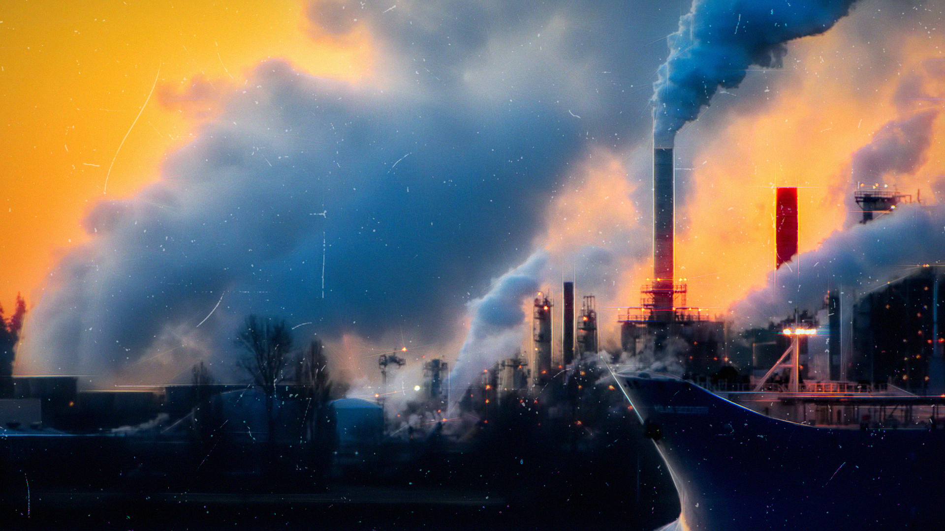
80 times more detrimental to our climate than carbon dioxide, methane is responsible for 30% of all warming since pre-industrial times. Here’s how the US is utilising tech to tackle such emissions domestically.
If you kept up with the key developments of COP26 last month, you’ll know that any chance of meeting the Paris Agreement all but relies on driving methane emissions down – as well as carbon dioxide, obviously.
While carbon has gained notoriety as the chief contributor to global warming, methane is a close second on the hit-list for environmentalists and governments. The sheer quantity of carbon rightly has it atop the agenda, but methane is actually 80 times more damaging as a greenhouse gas.
Though it was far from perfect, Glasgow did provide some progress in the way of a first global methane pledge. Specifically, more than 100 countries – including Japan, Canada, and the US – agreed to cut the global toll of atmospheric methane by 30% before 2030.
All delegates outlined plans to phase down livestock populations and the volume of decaying waste at landfills, both of which are huge emitters of methane. First, however, UN EU president Ursula von der Leyen believes policy makers should deal with the ‘low hanging fruit.’
What she’s referring to is fixing methane leaks from gas wells, pipelines, and fossil fuel productions. Wait, we already knew about leaking pipes?
Examining the trends of yearly data, we can ascertain that atmospheric methane continues to grow from leaks, but pinpointing where they are is another story entirely. Concentration of gas is typically recorded during rare aerial surveys, but real time data is scarcely available.